

Exploring Florida's Skyline with Cinematic Drones
A Florida skyline shot works best when it establishes a place or supports a specific story. Start with the view you need, the direction of light and the intended camera move, then assess whether the proposed location and operation are workable.
Choose the view before the flight plan
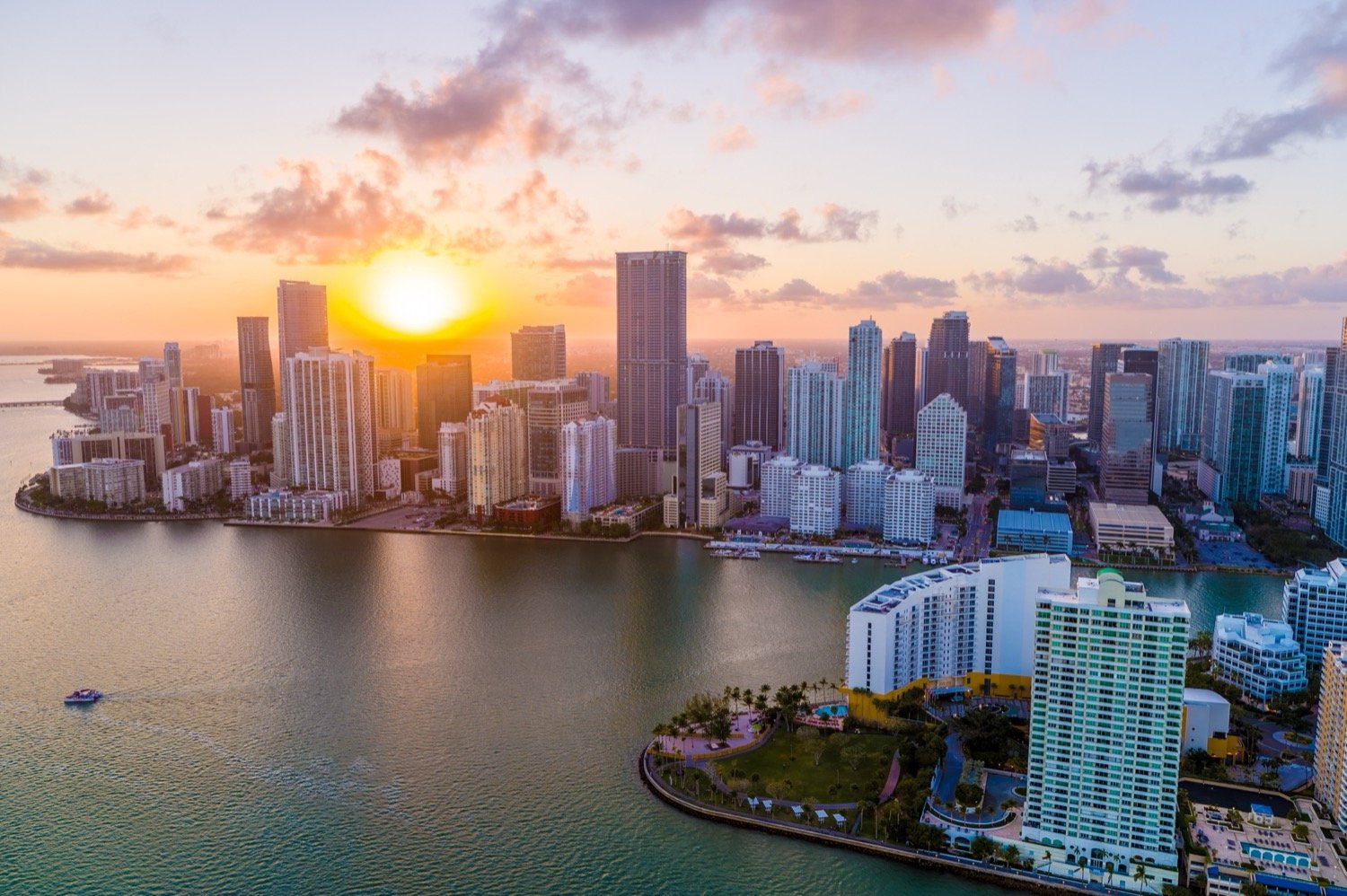
A broad city view can orient the audience; a closer angle can connect a building to its waterfront, streets or neighboring properties. Share references and identify what needs to remain in frame. The photograph above shows Drone Genius work on the Miami waterfront.
For film and commercial aerial production, discuss how the aerial shot connects to the rest of the sequence. For developer views and architectural backplates, agree on elevations, viewing directions and the visualization team’s requirements.
Assess the exact location
A city, waterfront or park should not be treated as a generally approved place to fly. Site access, launch arrangements, airspace, people, nearby activity and any temporary restrictions all need review for the proposed operation.
For Everglades National Park, the National Park Service compendium prohibits launching, landing or operating drones from or on park-administered lands and waters unless the superintendent gives written approval. Scenic appeal is not permission to launch.
Where a controlled-airspace authorization is needed, the FAA explains the LAANC and DroneZone processes. An airspace authorization does not settle every site-access or operational requirement.
Plan for light and changing conditions
Consider sun direction, reflections, building shadows and the intended look. Share any need for daylight, sunset or night imagery before scheduling so the team can assess the capture window.
Weather, wind, visibility and activity at the location may change the plan. Set shot priorities and agree on alternatives instead of assuming every requested angle or time will be available.
Match the camera and movement to the brief
Confirm framing, lens perspective, recording format and post-production needs with the aerial team. A stabilized reveal, a tracking shot and an FPV sequence have different planning requirements. Aircraft features alone do not establish that a move is feasible.
For coordinated production, identify who directs the shot, who monitors the image and how the crew will communicate. Discuss available space and changing subjects during the location review.
Define the finished material
Agree whether the delivery includes selected photographs, original footage, edited sequences or other outputs. Specify aspect ratios, color workflow, file handoff and schedule in the scope. Music licensing and additional versions also need to be addressed when included.
Explore our Miami aerial photography work, or send the location, dates and shot references to discuss a Florida production brief.